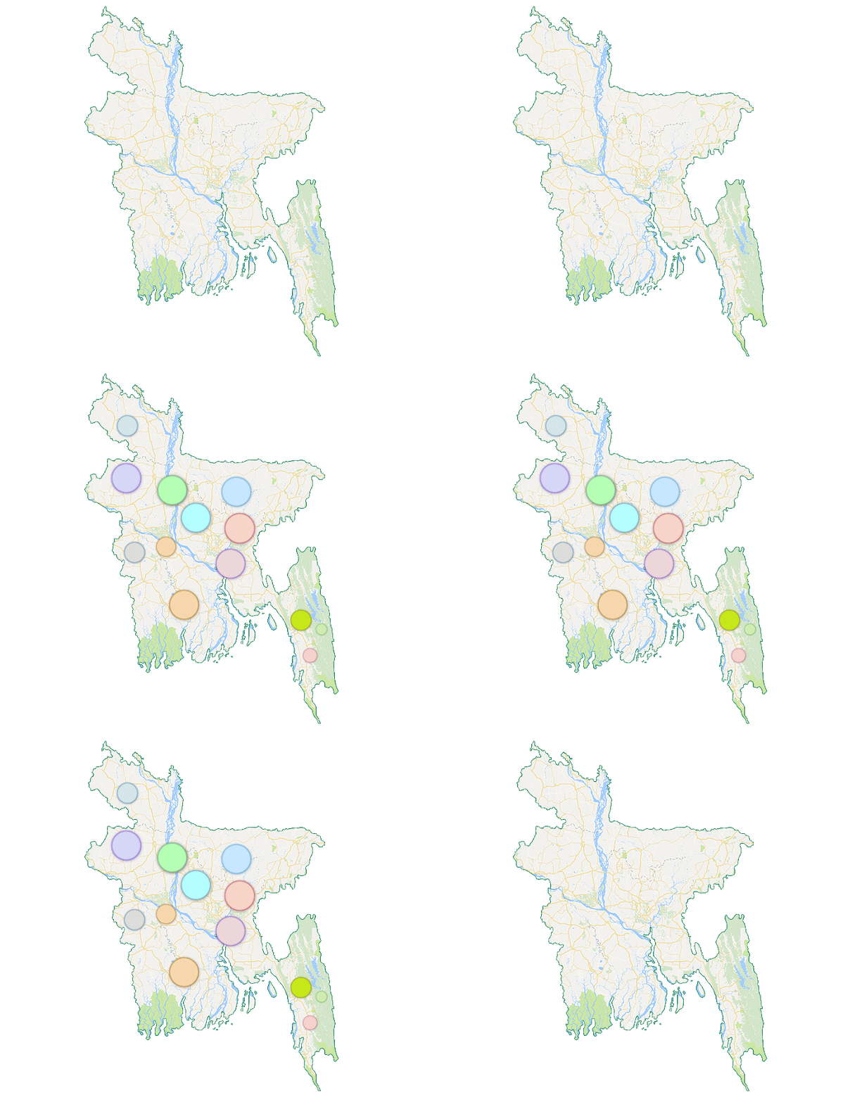
How does it work?
Just a few quick steps from creating your map to publishing it
Featured layers
Check out some amazing layers uploaded on GeoDASH platform below
Import your own layers
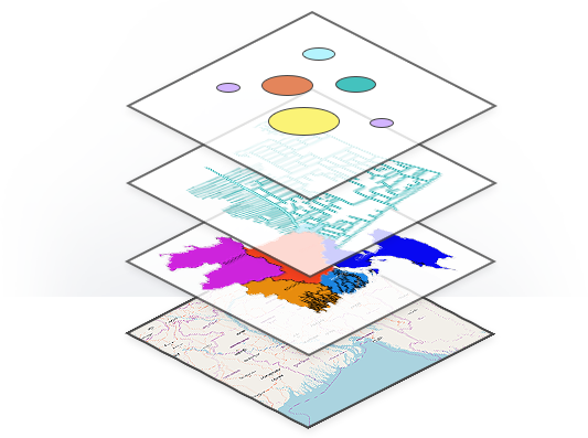
Layers are the contents of a map. To get started adding layers, sign in to the site, click on upload your layers/data, choose the data format for Vector (Example: .shp, .shx, .dbf, .prj) or Raster (.tiff, .img). Make sure your data projection is WGS 84 or BTM.
Interoperability
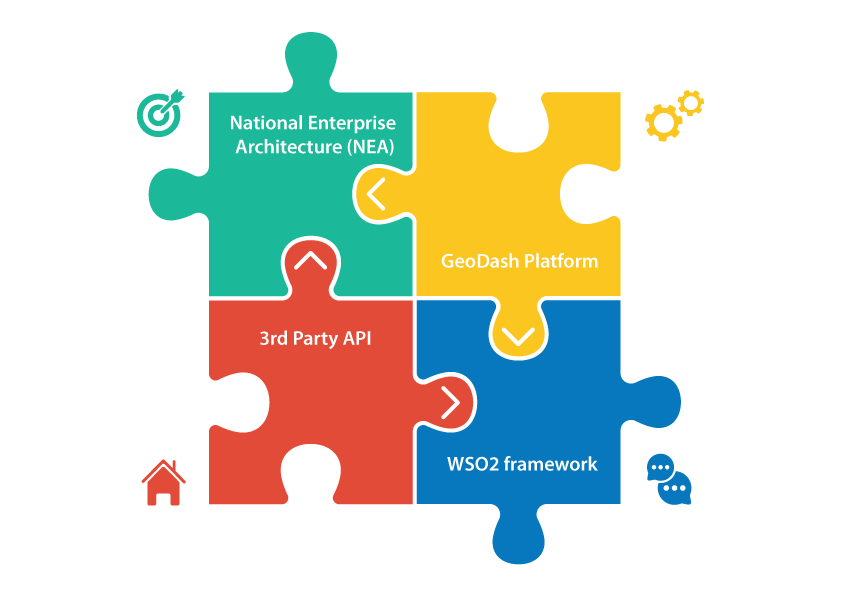
GeoDASH is Open GeoSpatial Consortium (OGC) standards compliant to optimize interoperability between programs across the enterprise for managing, sharing, and analyzing geospatial and non-geospatial content.You can make collaboration through community involvement/editing/crowd-sourcing of information in online, powerful, distributed/versioned architecture with intuitive interfaces.You can use the GeoDASH WMS layer in your map project of ArcGIS or QGIS environment like other open source WMS services, such as OpenStreetMap, Bing, MapBox, CloudMade, MapQuest, Stamen etc.
Make pretty maps with GeoDASH
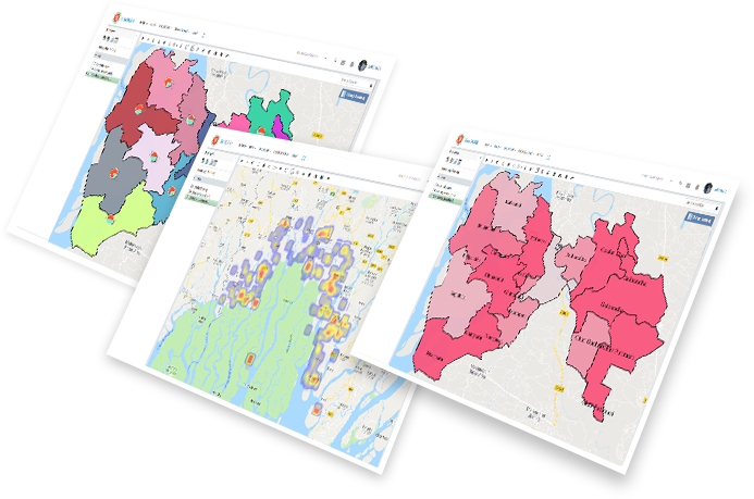
To create a new map go to your contributed or existing layers and click the “create map” link.This will take you to the “Map Composer” with a base layer loaded.To add data layers from GeoDASH click on the plus button located upper left side of the screen.This will open a dialog listing all the layers available on the GeoDASH.Select the layers you wish to add, then hit the Add Layers button.
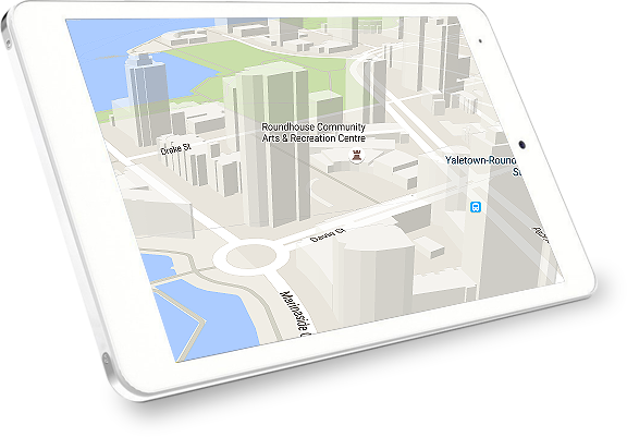
View your maps in 3D
To create a new map go to your contributed or existing layers and click the “create map” link.This will take you to the “Map Composer” with a base layer loaded.To add data layers from GeoDASH click on the plus button located upper left side of the screen.This will open a dialog listing all the layers available on the GeoDASH.Select the layers you wish to add, then hit the Add Layers button.
Share your map
Share your map via e-mail, LinkedIn, Twitter, Facebook etc.to maximize data sharing and promote your work.You can also publish and embed your map right away.

What GeoDASH offers
Our partners


